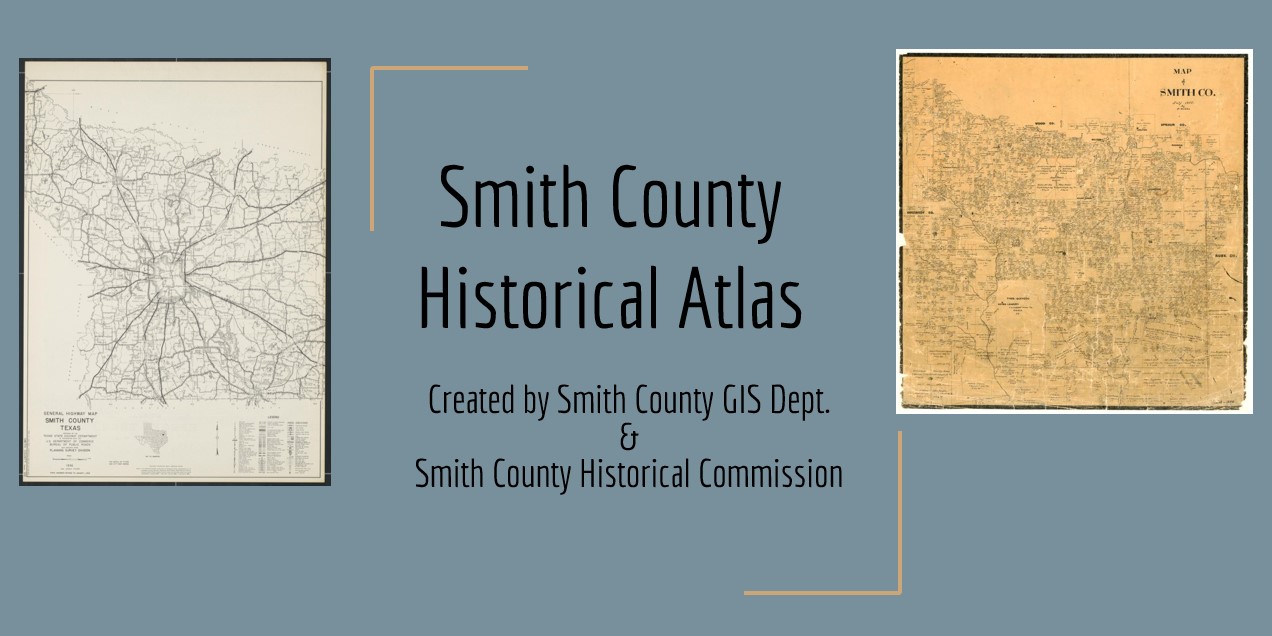

The Smith County Historical Atlas is a powerful new tool created by the Smith County GIS Department in partnership with the Smith County Historical Commission.
This interactive, web-based application makes the county’s rich history more accessible, accurate and engaging than ever before.
Smith County lacks a comprehensive inventory of its historic buildings, cemeteries and landmarks. Much of the existing data — maintained by the Texas Historical Commission — is outdated, incomplete or incorrect, Smith County Historical Commission Chairman Conor Herterich said.
The new Smith County Historical Atlas directly addresses this gap and empowers the local historical commission to fulfill its mission to identify, protect, preserve and interpret the history of Smith County.
Modeled after the Texas Historical Commission’s “Texas Atlas,” this localized version includes:
- Detailed listings of federal, state and local landmarks
- More than 200 cemeteries, many not documented in the state system
- Interactive historic transportation routes and overlays
- Pop-up info cards with photos, locations and supporting documents
“This is not just a static inventory — it’s a living application,” Herterich said. “Residents can help expand and update the Atlas over time, keeping our understanding of Smith County’s history vibrant and fresh.”
Among the data included:
- 73 Historic Subject Markers
- 20 Recorded Texas Historic Landmarks
- 115 City of Tyler Landmarks
- Historic transportation routes and early maps
Herterich presented the project to the Commissioners Court on Tuesday, August 12, the day the application went live on the Smith County website. He said no other county in Texas has anything like this. “We should be proud,” he added.
This project was completed without additional taxpayer expense and was developed entirely using existing county staff resources and volunteer hours, Herterich said.
Smith County’s GIS team Phil Burkart and Ethan Robinson created the application with the information provided to them.
“The Smith County Historical Atlas is a significant step forward in preserving and promoting the stories and structures that define East Texas,” Herterich said.
He thanked local historian Randy Gilbert for providing most of the information on the historic roads and cemeteries included on the Atlas.
Explore the Atlas here: https://www.smith-county.com/residents/community/smith-county-historical-commission
For information about how to contribute to the Atlas, please contact the Smith County Historical Commission at smith.co.historical.commission@gmail.com
The Atlas is the first project completed by the Smith County Historical Commission, which was established on January 21, 2025, by the Smith County Commissioners Court to assist the county in preserving local historic and cultural resources.